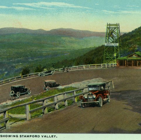
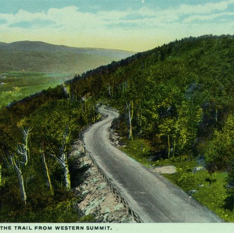
The Mohawk Trail (Massachusetts State Route 2) in Western Massachusetts was once used by Indigenous peoples traveling between the Connecticut River Valley in Massachusetts to the trading center of Albany, New York. By the late 1800s, the trail had become a popular destination for travelers seeking scenic roads and vistas. This postcard shows the trail as it looked when the Massachusetts State Legislature designated it a scenic route in 1914. The road was not paved until six years later.
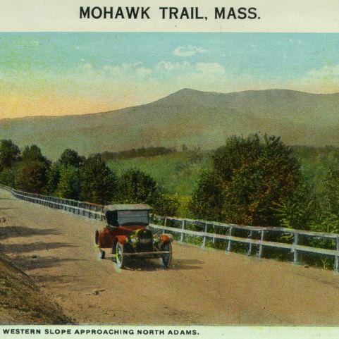
Curt Teich and Company, Incorporated, photographer. Western slope showing North Adams. Photograph. ca. 1915. Pocumtuck Valley Memorial Association, American Centuries. https://americancenturies.org/collection/1999-03-0038-02/. Accessed on April 2, 2026.
Please note: Citations are generated automatically from bibliographic data.