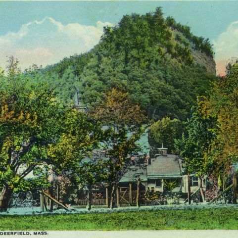
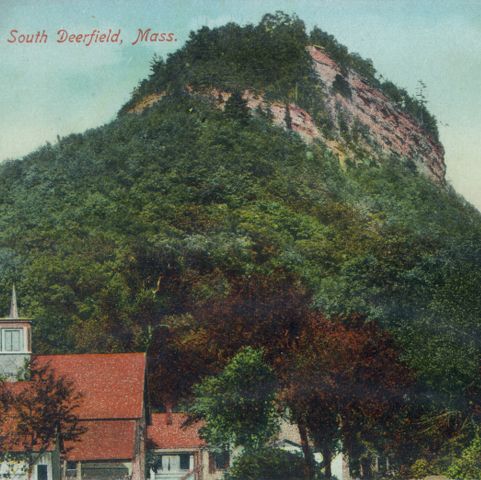
This view of the Sunderland, Massachusetts bridge with Mt. Sugarloaf in the background, was taken in about 1900. The steel girder bridge was built in 1876. It remained in use until the catastrophic flood of 1936, when the Connecticut River rose to its highest-ever recorded level. During that flood, the Montague City bridge to the north tore loose. It traveled downstream, crashing into and destroying the Sunderland bridge.
A. W. Jones, The Metropolitan News Company, photographer. Mt. Sugar Loaf. Photograph. ca. 1900. Pocumtuck Valley Memorial Association, American Centuries. https://americancenturies.org/collection/1999-03-0044/. Accessed on April 3, 2026.
Please note: Citations are generated automatically from bibliographic data.