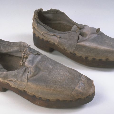
Colrain and Leyden are hill towns in Western Massachusetts. The original spelling of Colrain is shown here; by the 1890s the “e’s” had disappeared. When this map was created in 1871, both towns were farming communities. Industries in Colrain included a shoe workshop, saw, planing, and cotton mills, a box shop, carriage makers, leather workers, a blacksmith, woodworkers, and a manufacturer of mittens and gloves. Leyden had grist and turning mills and a lumber dealer. Both towns remain rural today.
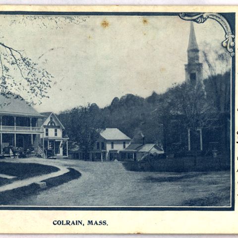
By 1871, Leyden, Massachusetts, was in the midst of a long decline. Its population was half of what it had been in 1800. In an effort to compete, the citizens of the town organized the “Cheese Factory” shown in Leyden Center, but it only lasted two years; it has been, however, immortalized on this map. The factory was intended to collect milk from around the town to make a product easily transported to distant, more profitable markets. Near the southern edge of the town, in 1870, the Greenfield Aqueduct Company built a dam across Glen Brook. The aqueduct was the first to supply Greenfield with water from outside the town’s wells or springs. In 1905, another dam was built above the first, and until the 1960s they supplied Greenfield with its water. This map also shows the pre-1886 border of the town: that year, Leyden signed over a segment on its southeast side to Bernardston.