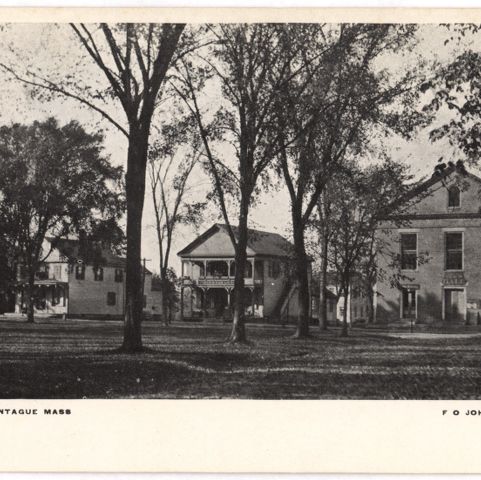
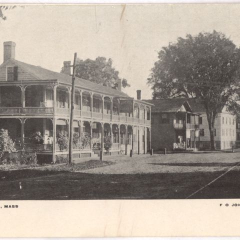
What is most striking about this 1871 map of Montague Center, Massachusetts, is how little the town’s configuration changed over the next 130 years. The rail line on the northern edge of town, crossing the Northfield Road at Montague Station, is now owned by the New England Central Railroad, but is rarely used. The grist mill of H.D. Capin & Co. on the Saw Mill River now houses a used bookstore called the “Book Mill.” The two major churches in town -Unitarian and Congregational – still face each other across the small common, and the line of houses and stores remains essentially intact. The industry, evident in the town in 1871, has disappeared, including the furniture manufactory and planing mill on the east side of town, and the rake manufacturing plant on the south side.
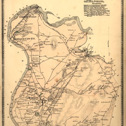
Beers, Frederick W. Montague Center. Map/Plan. F. W. Beers and Company, 1871. Pocumtuck Valley Memorial Association, American Centuries. https://americancenturies.org/collection/l02-053/. Accessed on April 17, 2026.
Please note: Citations are generated automatically from bibliographic data.