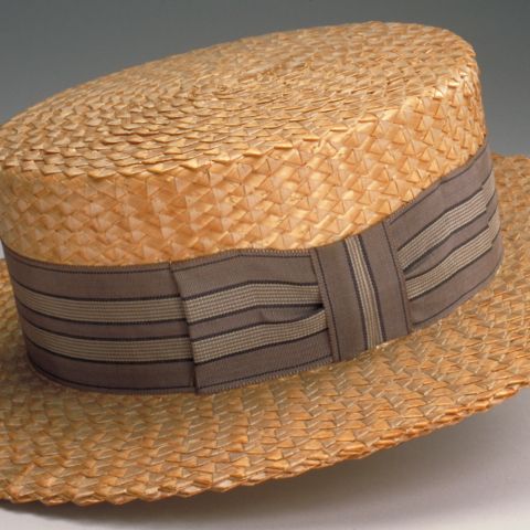
Amherst, Massachusetts, was a small village in 1891, but it retained a vibrancy beyond its size due to the presence of two noted colleges. On the north side of the village was the Massachusetts Agricultural College, one of the first Morrill Land Grant funded schools, established in 1864, by the Commonwealth of Massachusetts. In 1947, the Agricultural College became the University of Massachusetts at Amherst. On what was then the southern edge of the village center, just south of the common, was Amherst College, the village’s first. Amherst College was founded in 1820, and chartered in 1825. In 1891, Amherst was also home to a number of manufacturers, most prominently the straw hat industry, which was producing more than 144,000 hats a year.
Hitchcock, Frederick H. Map of Amherst Made For The Handbook of Amherst. Map/Plan. 1891. Pocumtuck Valley Memorial Association, American Centuries. https://americancenturies.org/collection/l03-019/. Accessed on April 29, 2026.
Please note: Citations are generated automatically from bibliographic data.