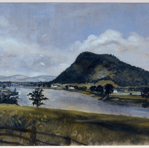
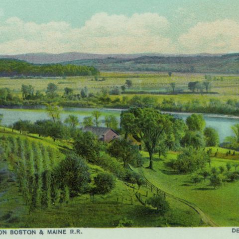
The Connecticut River was an early route for settlers coming into this area from other river communities such as Hartford and Windsor, Connecticut, and Springfield, Hadley, and Hatfield, Massachusetts. In this postcard image can be seen a common layout of colonial Connecticut River Valley towns in Massachusetts, with houses along a main street and farmlands stretching behind them to the river on one side and to the hills on the other side.
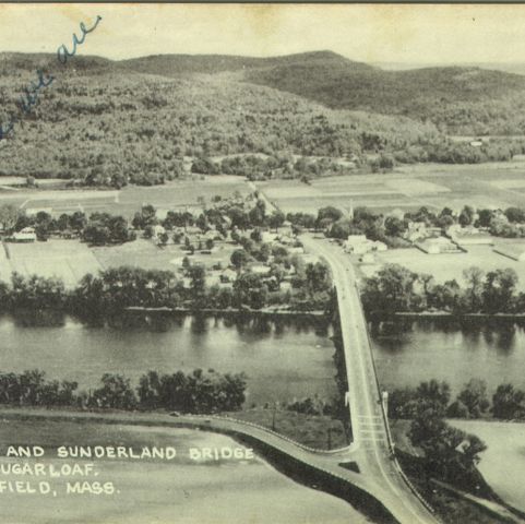
Hugh C. Leighton Company, Manufacturers, photographer. Bird’s-Eye View, Sunderland and Connecticut River from Mt. Sugarloaf. Photograph. 1912. Pocumtuck Valley Memorial Association, American Centuries. https://americancenturies.org/collection/1999-03-0019/. Accessed on April 3, 2026.
Please note: Citations are generated automatically from bibliographic data.