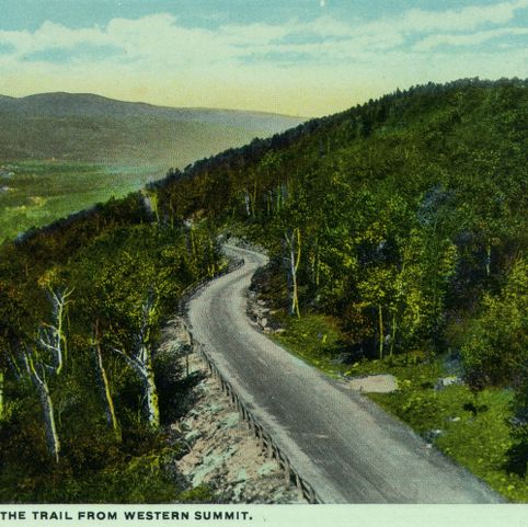
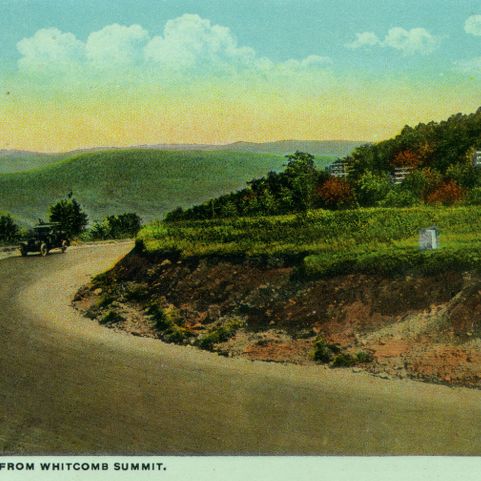
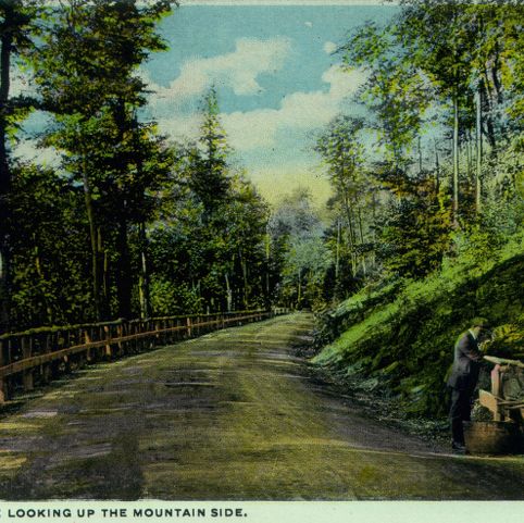
The Mohawk Trail (now Massachusetts State Route 2) crosses the Hoosac mountain range, connecting towns in the western part of the state with the Connecticut River Valley. Known for its scenic vistas, the trail became a popular route for travelers seeking out “natural” beauty at the turn of the 20th century.
Curt Teich and Company, Incorporated, photographer. The Hoosac Range Looking West from Moore’s Summit. Photograph. ca. 1915. Pocumtuck Valley Memorial Association, American Centuries. https://americancenturies.org/collection/1999-03-0038-07/. Accessed on April 2, 2026.
Please note: Citations are generated automatically from bibliographic data.