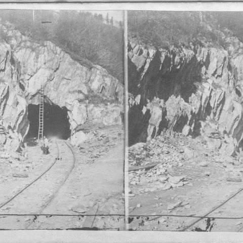
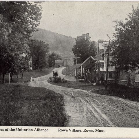
In 1871, Rowe, Massachusetts, the larger of the two towns shown on this map, had only 581 inhabitants. This sparsely settled corner of Western Massachusetts nonetheless sustained a textile mill and two manufacturers who dealt in lumber, chair stock, and broom handles. Its main focus, however, was agriculture. Only 201 inhabitants lived in Monroe. Even more rugged than Rowe, it could only support sheep grazing. The other major industry was logging and it had several sawmills. The Hoosac Tunnel was then under construction in the southwest corner of Rowe. Its completion would enhance commerce in both towns.

Beers, Frederick W. Monroe & Rowe. Map/Plan. F. W. Beers and Company, 1871. Pocumtuck Valley Memorial Association, American Centuries. https://americancenturies.org/collection/l02-002/. Accessed on March 28, 2026.
Please note: Citations are generated automatically from bibliographic data.