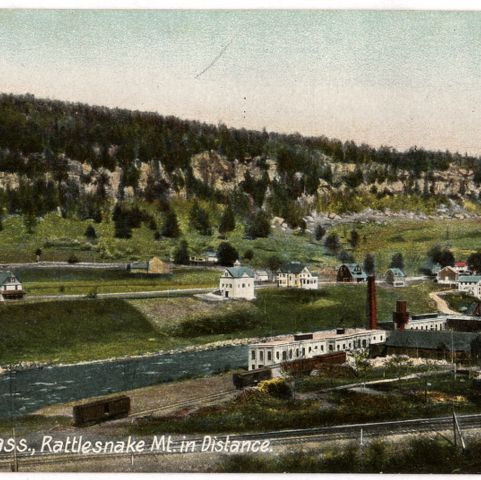
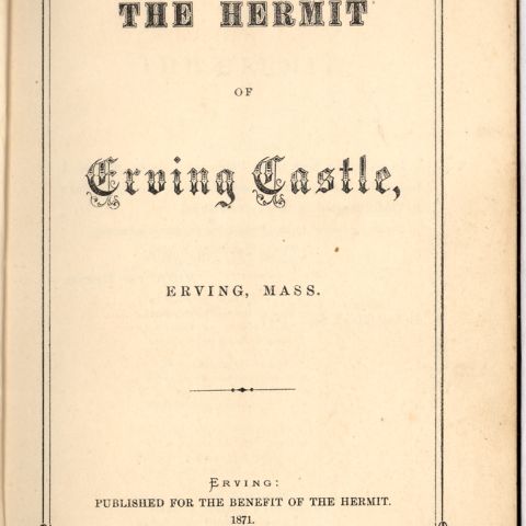
The Millers River serves as a town line between Erving and Wendell, both in Massachusetts. Manufacturers in Erving produced mostly lumber, with a business that made children’s carriages and another that made parts for pianos, organs, and melodeons. Prominent on this map is the “Erving Castle or Hermit’s Cave” where a cliff formed a natural cave that was inhabited in the late 1860s by John Smith, a Scotsman, who became something of a celebrity for his rugged lifestyle. He lived there for more than twenty years before being taken into a Montague home, where he died in 1900. Wendell was more rural, with just 10 businesses listed.
Beers, Frederick W. Erving & Wendell. Map/Plan. F. W. Beers and Company, 1871. Pocumtuck Valley Memorial Association, American Centuries. https://americancenturies.org/collection/l02-013/. Accessed on March 27, 2026.
Please note: Citations are generated automatically from bibliographic data.