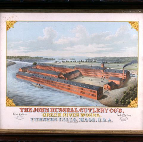
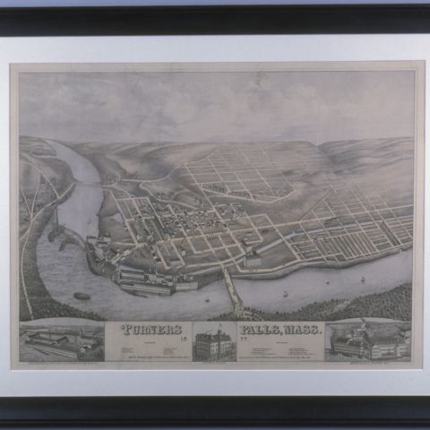
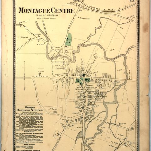
In 1871, the population of Montague, Massachusetts, was evenly distributed between the three major centers: Montague Center, Millers Falls, and the Turners Falls/Montague City corner. The manufacturing center of Turners Falls grew dramatically in the 1870s, prompted by its ready access to rail lines and its proximity to a navigable section of the Connecticut River with its abundance of waterpower. Millers Falls also grew in size and by comparison, Montague Center remained a rural village.
Beers, Frederick W. Montague. Map/Plan. F. W. Beers and Company, 1871. Pocumtuck Valley Memorial Association, American Centuries. https://americancenturies.org/collection/l02-016/. Accessed on March 27, 2026.
Please note: Citations are generated automatically from bibliographic data.