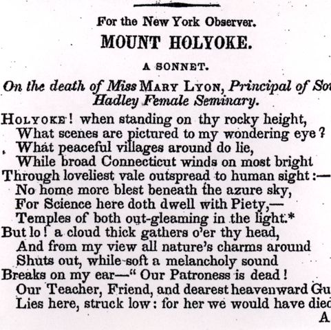
South Hadley was originally part of Hadley, Massachusetts, and became its own town in 1776. As it is situated on the banks of the Connecticut River, by the 19th century, its mills were producing paper, pearl buttons, and wool cloth. There was also a tannery. Mount Holyoke Female Seminary opened circa 1837. Its location is labeled “Sem. School” and “Sem”, and can be seen just above “South Hadley P.O.” The seminary became Mount Holyoke College in 1889.
Beers, Frederick W. South Hadley. Map/Plan. F. W. Beers and Company, 1873. Pocumtuck Valley Memorial Association, American Centuries. https://americancenturies.org/collection/l07-031/. Accessed on March 28, 2026.
Please note: Citations are generated automatically from bibliographic data.