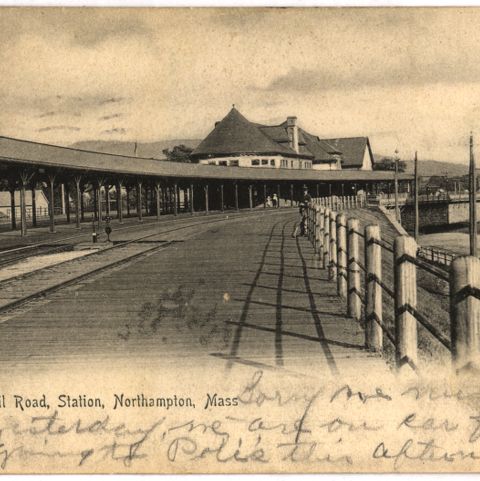
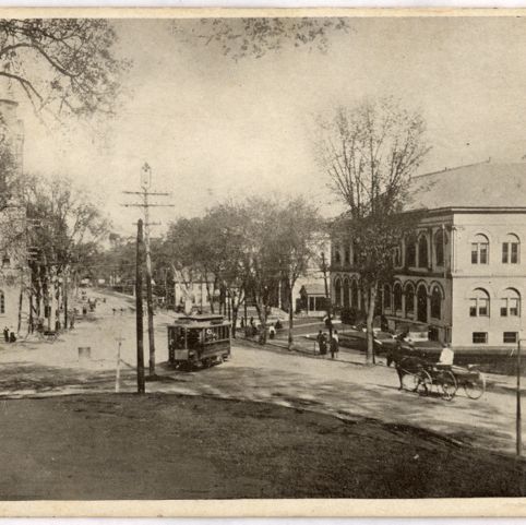
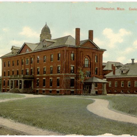
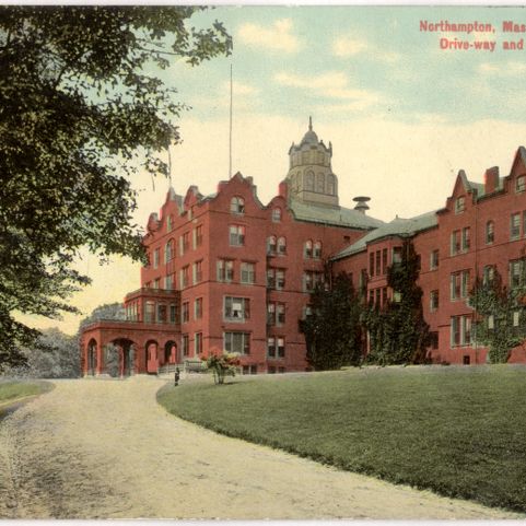
The land where Northampton, Massachusetts, was to be founded was part of the Nonotuck Indigenous people’s homeland. It was purchased from them by John Pynchon (1626-1703) in 1653, for 100 fathoms (600 feet) of wampum, ten coats, and a few trinkets. The town was incorporated in 1656, and became a city in 1883. From 1729 to 1750, Northampton was home to Jonathan Edwards (1703-1758), a controversial minister who was a primary figure in the religious revivals known as the “First Great Awakening”. On August 29, 1786, Daniel Shays (c.1747-1825), a farmer in nearby Pelham, mustered 500 men to march to the Hampshire County Courthouse, located in Northampton. They successfully stopped the Court of Common Pleas from convening to seize property for non-payment of the new, land-based taxes passed by the Massachusetts legislature. This was the beginning of Shays’ Rebellion. Northampton’s location on the Connecticut River made it an attractive location for mills; by 1837 there were three woolen mills, 2 silk factories, and a paper mill. The silk factories produced ribbon and sewing silk, employing mainly women. Northampton is home to Smith College and the Clarke School for the Deaf. Sylvester Graham (1795-1851), the 19th century health reformer and inventor of the Graham cracker lived there and future president Calvin Coolidge (1872-1933) served as Northampton’s mayor in 1910 and 1911. The city today is known for its vital downtown, dining and cultural opportunities, and its educational institutions.
Beers, Frederick W. Northampton (and Easthampton). Map/Plan. F. W. Beers and Company, 1873. Pocumtuck Valley Memorial Association, American Centuries. https://americancenturies.org/collection/l07-034/. Accessed on March 27, 2026.
Please note: Citations are generated automatically from bibliographic data.