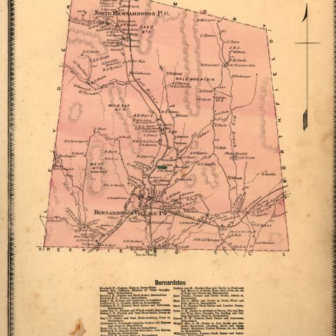
The plot of land to which this document refers was granted to Joseph Barnard (1717-1785) of Deerfield, who then contracted with the surveyor, Ebenezer Sheldon, Jr. (b.1715) of Falltown, to diagram the plot with latitude and longitude included. Falltown, the name of the place where the fifty-some acres of land was surveyed in 1740, is now called Bernardston, Massachusetts, and is located about fifteen miles from Deerfield.
Sheldon, Jr., Ebenezer. Plot plan of land owned by Joseph Barnard. Map/Plan. ca. 1740. Pocumtuck Valley Memorial Association, American Centuries. https://americancenturies.org/collection/l99-172/. Accessed on April 4, 2026.
Please note: Citations are generated automatically from bibliographic data.