The Mohawk Trail in Western Massachusetts was an improved road suitable for automobile use by the time the state legislature voted to make it a scenic route in 1914. The trail, which runs from Greenfield to North Adams, connects towns in the western part of the state with the Connecticut River Valley. Building, grading, and maintaining this 41-mile road was costly and difficult.
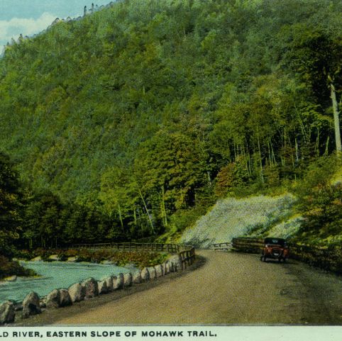

Curt Teich and Company, Incorporated, photographer. View Along the Cold River, Eastern Slope of Mohawk Trail. Photograph. ca. 1915. Pocumtuck Valley Memorial Association, American Centuries. https://americancenturies.org/collection/1999-03-0038-16/. Accessed on April 16, 2026.
Please note: Citations are generated automatically from bibliographic data.