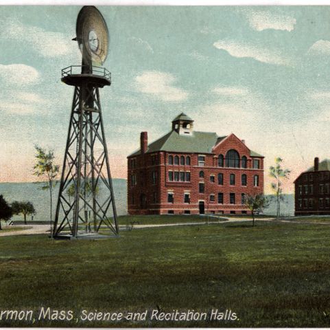
Northfield, Massachusetts, was originally the home of the Squakheag Indigenous people. In 1672, English settlers acquired the land, but their life was extremely difficult in this disputed and dangerous area. The settlers deserted the settlement during Metacom’s (King Philip’s) War (1675-1676); they resettled there six years later, but again deserted in 1688, after a raid. Peace finally came at the close of Queen Anne’s War (1702-1713.) By 1790, the population was 868, and the number grew steadily to more than 1,700 by 1830. This 1871 map shows few businesses- some sawmills, a cider mill, and a maker of window sash and doors. There were also farms along the river. In 1879, Dwight Moody, a Chicago evangelist, chose Northfield for the site of two seminaries, one for girls (The Northfield Seminary) and one for boys (The Mount Hermon Boys’ School). The schools merged in 1971, as the co-educational preparatory Northfield Mount Hermon School.
Beers, Frederick W. Northfield. Map/Plan. F. W. Beers and Company, 1871. Pocumtuck Valley Memorial Association, American Centuries. https://americancenturies.org/collection/l02-006/. Accessed on April 29, 2026.
Please note: Citations are generated automatically from bibliographic data.