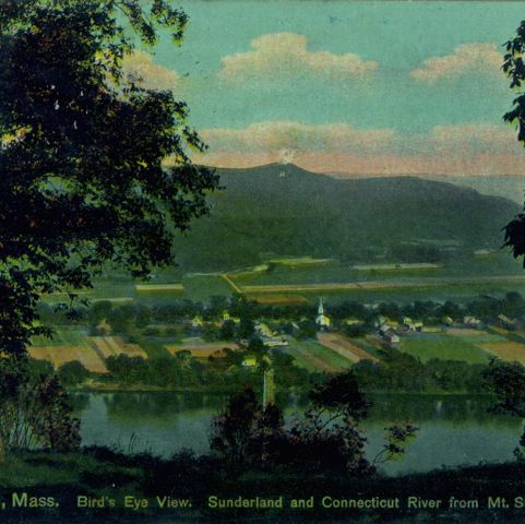
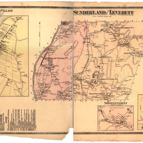
The wide, fertile valley of the Connecticut River below Sunderland, Massachusetts, can be seen on this map. Although houses have begun to take the place of cultivated fields, farms still abound in this area. Telltale signs of the glaciers that helped shape this landscape appear in the concentration of gravel pits just north of the Great Swamp. As the ice receded, it left behind large deposits of sand and gravel.
U. S. Geological Survey. Mt. Toby, Mass. Map/Plan. 1955. Pocumtuck Valley Memorial Association, American Centuries. https://americancenturies.org/collection/l98-002/. Accessed on April 3, 2026.
Please note: Citations are generated automatically from bibliographic data.