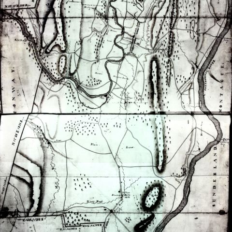
This modern map combines several types of information that together provide a dynamic view of early 19th century Deerfield, Massachusetts. The cartographer has marked the locations of buildings and the boundaries of the lots they sat on, and has identified their owners or occupiers. Changes over time are indicated by the succession of names of individuals who later purchased or rented the buildings. The map also indicates the stores that existed in the village in 1837.
Warner, Bonita. Deerfield Street. Map/Plan. ca. 1980. Pocumtuck Valley Memorial Association, American Centuries. https://americancenturies.org/collection/l98-009/. Accessed on March 28, 2026.
Please note: Citations are generated automatically from bibliographic data.