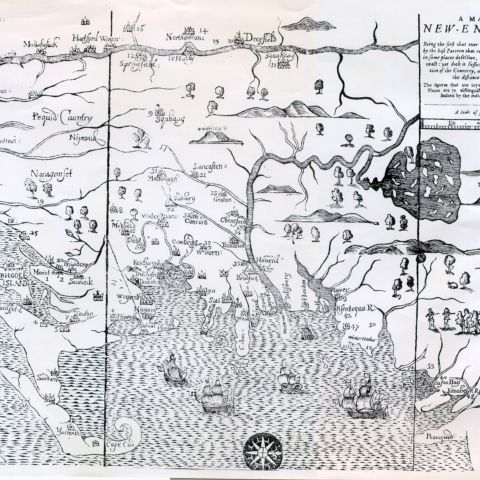
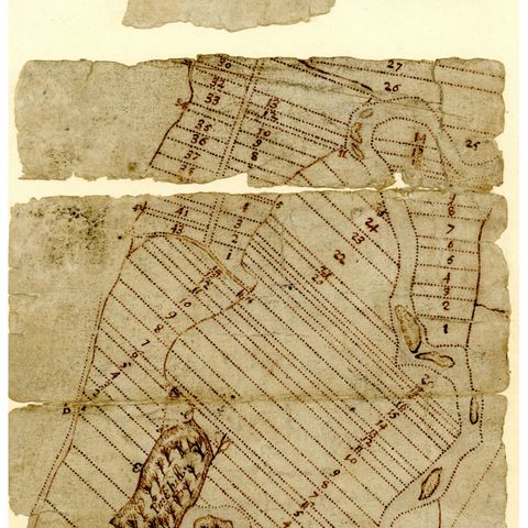
Students will observe and interpret primary source maps of the 17th and 18th centuries, modern maps, and images. They will learn to interpret them and determine that they have a point of view. As a form of visual literacy, students will close-read the maps for information. They will use period maps to help construct the history of the 1704 raid on Deerfield.
Maps in the 17th and 18th Centuries: What Can We Learn about the Connecticut River Valley in Massachusetts?
Details
Author | |
Topic/Subject Area | Land, Environment, Geography |
Historical Era | Colonial settlement, 1620–1762 |
Grade Level | Elementary (K–5) |
Creation Date | 2013 |
Last Revision Date | 2024 |